Mapping European Scientific Exploration in the Pacific and around the Australian continent
The Project
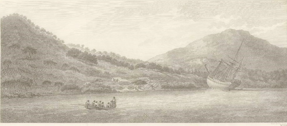
This website gives access to the TLC Maps created as a first step in the Coral Discovery Project. This project began in 2022 as a collaboration between James Cook University and the Queensland Museum Network. It involves historians, coral taxonomists, archaeologists, anthropologists, and environmental scientists in mapping and then analysing European scientific expeditions that left Europe for the Pacific between 1768 and 1834. The project aims to map all expeditions, and to identify the scientific networks connected to them.
This page is a work in progress, and maps will be added as they are created.
